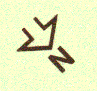
Source: Silent Lake Provincial Park Trails, Ministry of Natural Resources, Ontario ISBN 0-7729-8303-8
Scan: 600 dpi
Magnify: 150 percent
Resize: width to 200 pixels, proportion constrained
Permission: pending
Note:
Since the park entrance is to the east of the lake and the trails begin south of the lake, the arrow points downwards (the map follows a bodily orientation: the lake would be in front of the hiker facing south and if the top of the map represented north, the user-hiker would have to execute a mental rotation of the topography).